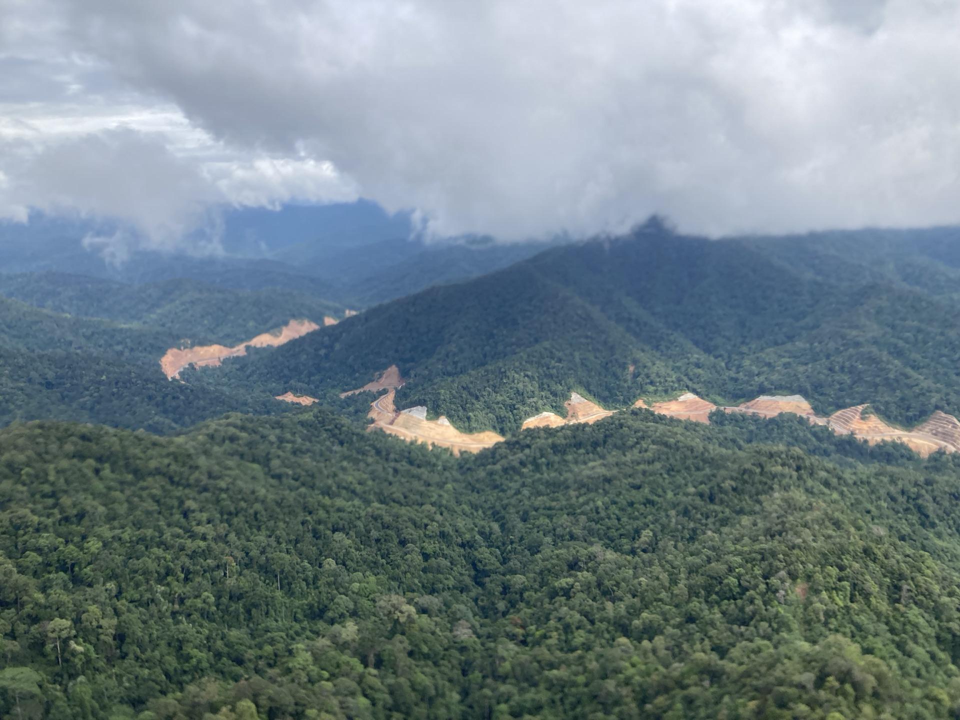
It is the largest of the forest carbon markets, and the one where trust has been hardest hit. When credits represent something that did not happen, a forest that was not cut down, everything rests on the estimate of what would have happened. Several widely reported studies found that estimate had been generous, and the market has been paying for it since, along with the forests and communities that depend on it.
Nobody can measure that directly. Would a hundred trees have been cut here, or fifty, or one? The answer has to come from comparable forest that was not protected, measured over the same years. That is what our reference areas are.
Some of the older methodologies are out of date, and some of the newest have improved a great deal while still containing requirements that could be improved.
Our answer is the same engine we use everywhere. ramet5 selects reference areas from the satellite record based on what the project area actually contains, not from a short list of variables chosen in advance. The result is a baseline stated as a range, with the evidence for it in maps anyone can inspect.
The problem is not hypothetical. In one well-known assessment of REDD projects, the comparison areas carrying the most statistical weight for a Colombian project were 900 km away in a different ecoregion, and nothing in the method flagged it, because distance and ecoregion were not among the variables being matched on. Our team’s response is below.
A full REDD product is in development. This is the market where we think our methods can make the biggest difference, and also the one where doing it properly takes longest, because the methodologies themselves are still changing. We are in dialogue with the leading standards on it. The same is true under the Paris Agreement, where the difference between Article 6.2 and 6.4 matters for forests.
Monitoring is available today. We already run counterfactual monitoring of this kind for existing project portfolios. What you get now is our own biomass mapping together with our counterfactual analysis of your portfolio, in a form you can use under current methodologies, faster and at lower cost than buying biomass maps on their own, because the same run produces both.
If you hold or develop REDD projects and want an independent view of what your baselines would look like built this way, get in touch.
Baselines here are reported as a range, not a single figure. Why we report a range.
Questions people ask
What is REDD?
REDD is reducing emissions from deforestation and forest degradation. A REDD project protects standing forest, and its credits represent emissions that did not happen because the forest was not cleared.
Why have REDD baselines been controversial?
When credits represent something that did not happen, everything rests on the estimate of what would have happened. Several widely reported studies found those estimates had been generous, and trust in the market has suffered since.
Does belian.earth offer a REDD product?
A full REDD product is in development. belian.earth already runs counterfactual monitoring of this kind for existing project portfolios, using the same matching engine and reporting baselines as ranges with inspectable reference areas.
Related reading
Where the belian.earth team has written on the questions this page raises.
Why Forest Restoration Projects Need Robust Counterfactual Baselines
by Christopher D. Philipson
Every forest carbon project depends on a counterfactual baseline to demonstrate its impact. Whether avoiding deforestation or restoring degraded land, the underlying question is the same: what would have happened without the intervention?
Read articleOpinionThe carbon baseline problem nobody wants to talk about
by belian.earth
The carbon market has an integrity problem. But while the industry obsesses over which biomass map to trust, the real uncertainty is in the carbon baseline.
Read articlePolicyArticle 6
Article 6 is the international carbon market framework of the Paris Agreement, the mechanism that should, in theory, make forests financeable at scale. In practice, the rules governing removal activities have made this harder, not easier.
Read moreResearchMapped aboveground carbon stocks to advance forest conservation and recovery in Malaysian Borneo
Gregory Asner et al. · Biological Conservation, 2017
Read moreResearchEvaluating GEDI for quantifying forest structure across a gradient of degradation in Amazonian rainforests
Emily Doyle et al. · Environmental Research Letters, 2025
Evaluating NASA's GEDI spaceborne lidar across forest degradation gradients in Amazonian rainforests.
Read moreStay in the loop
Stay up to date with developments in independent reference area selection and carbon market baselining.